I have had perfect signal on a Canterbury ridge and zero signal in a Queenstown carpark. NZ coverage is vibes-based.
Assume No Signal When
- Fiordland — anywhere
- Stewart Island — mostly
- Alpine sections — often
- Deep bush valleys — predictably
| Tool | Why |
|---|---|
| Downloaded offline maps | Non-negotiable |
| PLB / satellite messenger | Remote multi-day |
| Told someone your plan | Free, effective |
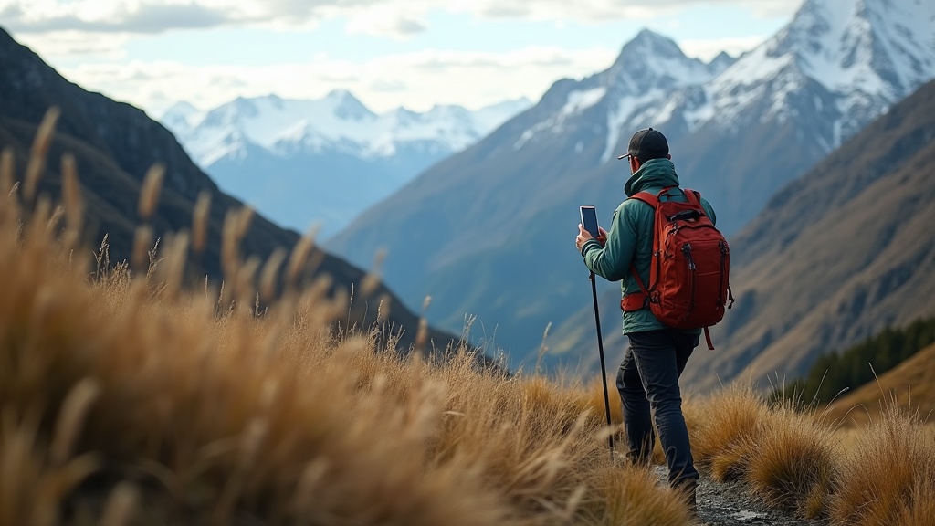
Check weather on town wifi before Tongariro or other alpine days — you will not get a helpful update on the ridge.
Power bank in a dry bag. Cold kills phone batteries faster than shame.
Offline Habits I Keep
Download maps, save PDF tickets, screenshot shuttle confirmations. Assume airplane mode by default on track.
| Tool | Use |
|---|---|
| Offline maps | Navigation backup |
| PLB / satellite | Remote multi-day |
| Power bank | Cold drains batteries |
Tell a friend your plan with check-in time. Free, effective, no subscription.
Do not rely on streaming weather on exposed ridges — read forecasts in town instead.
On Stewart Island or Fiordland, assume zero bars and be pleasantly surprised if otherwise.
Satellite messengers still need clear sky and charged batteries. They are backup, not replacement for good planning.
Share itinerary with someone who will actually check in — not a group chat that mutes notifications.
Quick FAQ
Is this suitable for beginners? With honest fitness and weather checks, often yes — but always read DOC track alerts first.
Do I need bookings? Peak season almost always yes for transport and often for popular carparks at dawn.
What if weather turns? Turn back early. New Zealand rewards humility more than summit photos.